


Drone Geofencing: How It Works & Why It Matters
Few things ruin a flight faster than seeing a sudden airspace warning on your phone when you are ready to fly. This is drone geofencing. So why did a no-fly zone suddenly appear over a spot that looked clear on the map? Can you actually ignore these alerts, or will you end up with a massive fine? Most importantly, is there a way to gain access when you have permission to be there? This blog will answer these questions to help you master flight laws and stay out of legal trouble.
What is Geofencing for Drones?
Drone geofencing is a software feature that uses GPS to identify restricted areas in the sky. It functions as a digital mapping tool within your flight system, notifying you when you approach coordinates where flight is prohibited or requires special permission. This technology ensures you are aware of local aviation rules in real-time.
Why Drones Use Geofencing
The primary objective of this technology is to prevent aircraft from accidentally entering sensitive airspace. Aviation regulations are complex and frequently change based on your specific location. Geofencing identifies these boundaries automatically to help pilots avoid flying near airports, government buildings, or crowded public events. By providing these automated alerts on your phone, the system helps you follow the law and avoid expensive legal penalties.
Permanent and Temporary Rules
Airspace data is divided into two categories based on how long the restrictions remain in effect. Permanent zones cover fixed infrastructure like major international airports and military installations that rarely change. In contrast, temporary restrictions are issued for short-term events, such as professional sports matches or emergency rescue operations. Because these rules can appear or disappear within hours, your drone often requires an internet connection to download the latest database updates.
How Does Geofencing Work?
Geofencing is an automated process that runs in the background from the moment you power on your drone. The system uses three specific steps to identify local flight rules and manage your aircraft's movement.
The App Loads the Airspace Database
Before takeoff, the drone's flight application loads a digital map that contains local airspace regulations. This database includes the coordinates of both permanent and temporary restricted zones. Because these rules can change frequently, the app usually requires an internet connection before your flight to download the most recent updates. This ensures the system knows the exact location of boundaries before the drone leaves the ground.
The Drone Identifies Its GPS Location
Once the drone is powered on, a built-in receiver connects to satellites to track your precise latitude, longitude, and altitude. This satellite connection functions independently of cellular service. Even if you are in a remote area without a phone signal, the drone can still identify its real-time location as long as it has a clear view of the sky.
The System Triggers Alerts
The flight controller constantly compares your live GPS coordinates with the boundaries in the airspace database. If you approach a sensitive area, the system will display a warning on your phone screen to inform you of the local rules. Depending on the zone's security level and the drone's brand, the software may also limit your flight. In high-risk areas, the system might prevent the drone from taking off or stop it from entering the restricted space to avoid a legal violation.

Common Types of Geofence Zones
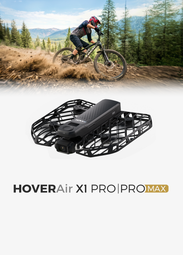
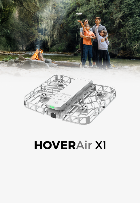
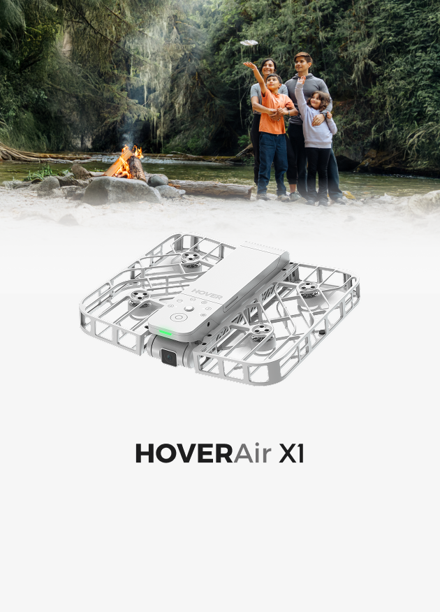
Most flight maps use specific colors to show different airspace rules. These categories help you identify where you can fly and what actions you need to take before takeoff. Here is how these zones work on the HOVERAir X1 app:
No-fly Zones (Red Zones): Prohibit All Flights
No-fly Zones (red zones) indicate areas where UAVs (Unmanned Aerial Vehicles) are strictly prohibited. These locations usually cover sensitive areas like commercial airports or government buildings. If you are in a red zone, the app will not let you take off.
Authorization Zones (Yellow Zones): Require Local Verification
Authorization Zones (yellow zones) highlight areas with flight restrictions. The app might not physically stop your motors from starting, but this warning means you must check local laws and get permission before flying.
Altitude Restricted Zones (Grey Zones): Limit Flight Height
In Altitude Restricted Zones (grey zones), you can fly, but your maximum altitude is capped. The app will remind you to watch your height so you do not interfere with other aircraft or break local airspace rules.
(Note: The app's map is meant as a reference. You are always responsible for understanding local laws and flying safely.)

Can You Turn Off Geofencing on Your Drone?
No, you cannot turn off geofencing in your drone’s settings. It is a permanent safety feature designed to prevent accidental flights into restricted airspace.If you are in an area that allows flight but requires authorization, you don't turn geofencing off—you verify your flight. This usually involves a self-unlock process in the app. You will need to check a box confirming you take full responsibility for the flight and, in many cases, verify your identity by entering a code sent to your phone via SMS. Once this is done, your drone is cleared to take off. Since unlocking restricted areas requires an SMS code or a database update, you won’t be able to take off if you don't have a signal. To avoid this, always check the map and finish any verifications while you’re still on Wi-Fi.
How is Drone Geofencing Changing? (Recent Industry Updates)
Instead of the drone manufacturer acting as a digital police officer, the industry is moving toward a model where they give you the data, and you take the responsibility for the flight.
Adopt Official Government Maps
In the past, many drone brands created their own private maps to decide where you could fly. Now, the industry has started using official maps provided directly by national aviation authorities, such as the FAA in the United States and EASA in Europe. This change ensures the warnings you see in your app match the actual legal zones defined by the government.
Use Remote ID for Accountability
This shift is possible because Remote ID is now mandatory for most drones. Since your drone broadcasts its identification and location to authorities in real-time, it acts like a digital license plate. Because the government can now monitor flights directly, drone brands no longer need to act as "digital police". The app provides safety data, and you take full responsibility for the flight.

Follow Geofencing Alerts for Legal Flights!
Geofencing is the easiest way to figure out local flight rules. Whether your app shows a warning or stops your drone from taking off, these digital borders keep you out of trouble and help you avoid expensive fines. Remember to check the map before you launch. The app gives you the information, but flying safely and legally is ultimately up to you.
FAQs About Drone Geofencing
Q1: What is the purpose of geofencing in drone technology?
A: It exists to keep the sky safe and keep you out of legal trouble. The system acts as a digital safety net, automatically warning you about restricted areas like airports or prisons so you do not accidentally interfere with other aircraft. For you, it takes the stress out of flying—you do not have to manually check complicated aviation maps before every takeoff, and it helps you avoid expensive fines.
Q2: What happens if I fly a drone in a no-fly zone?
A: In most cases, your drone will refuse to take off if it’s inside a no-fly zone. If you’re already in the air and cross into one, you’ll get an immediate warning on your app, and the drone might automatically stop or hover. Beyond technical blocks, getting caught in these areas can lead to serious legal trouble, including heavy fines or even having your drone confiscated.
Q3: Will the FAA know if I fly my drone?
A: Yes, they likely will. Most drones are now required to use Remote ID, which broadcasts your flight location and identification in real-time. It’s essentially a digital license plate that allows the FAA or local law enforcement to see exactly where you are flying. This makes it very easy for authorities to track down anyone who ignores flight restrictions.


